
Welcome to Monkton Combe
The interpretation board came about after a suggestion from resident David LeTall as a way to introduce the village to passers-by on the Circuit of Bath walking path which passes through the churchyard and so this site seemed the perfect location. Thanks are therefore due to the Church of St Michael’s and All Angels who gave us permission to mount it on the wall.
Production of the board was co-ordinated by the Parish Council using local artist Amanda Steer who did the illustrations and graphic artist Neil Morgan who put the board together. Funding was largely provided by the Cotswold National Landscape Trust (CNL) to whom many thanks are due
MONKTON COMBE was an agricultural community over 1000 years ago and is mentioned in the Domesday Book with at least 7 families and enough farmland to justify two water mills.. Formerly known simply as ‘Combe’ it was renamed to distinguish it from other valleys and to reflect ownership by the Monks of Bath Abbey. The Somerset Coal Canal and then a railway ran through the valley but both are now gone.
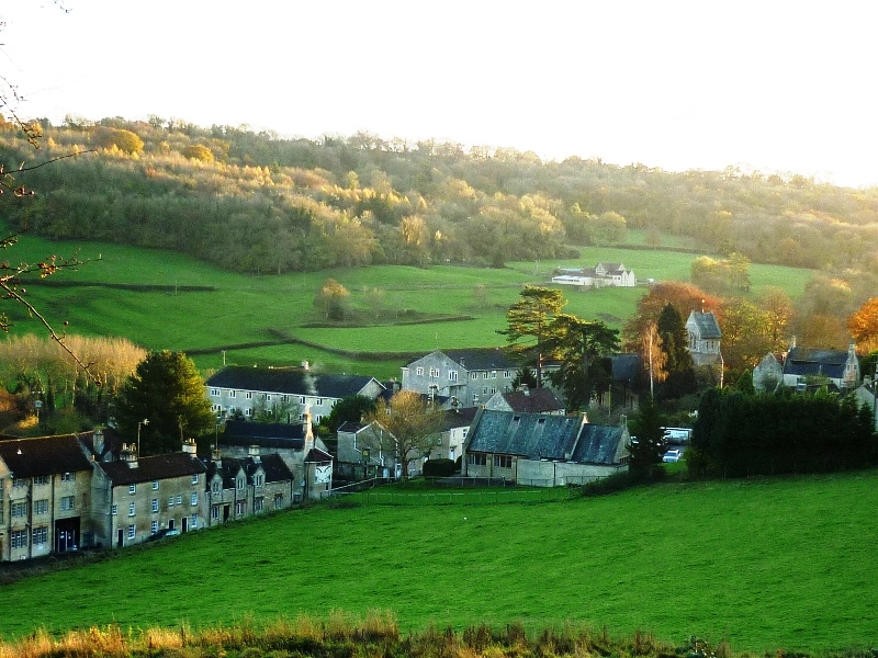
Heart of the Village
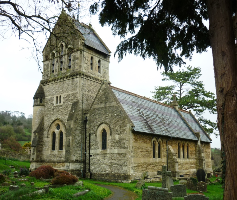
1. ST MICHAEL’S CHURCH was built in 1865; there had been small churches on the same site for several centuries.
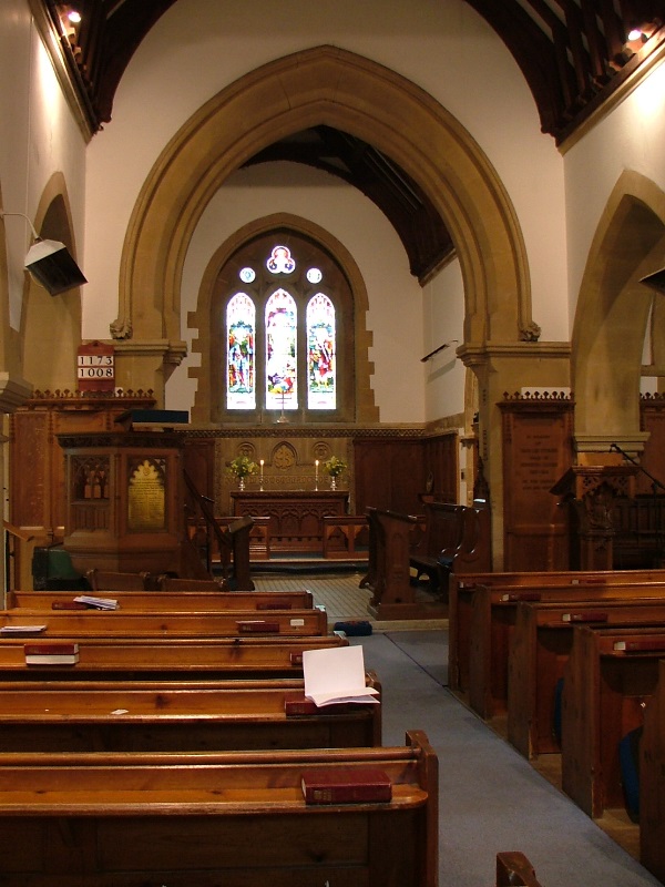
Church Interior
An unusual feature of the church is the bells and how they are rung. Instead of a ring of rope pullers they can be pealed by one person using an ingenious system of levers that pull on wires that connect to the hammers that ring the appropriate bell. The picture below shows a bell-ringer in action, Note the ear defenders as the console is placed in the tower immediately below the bells themselves!
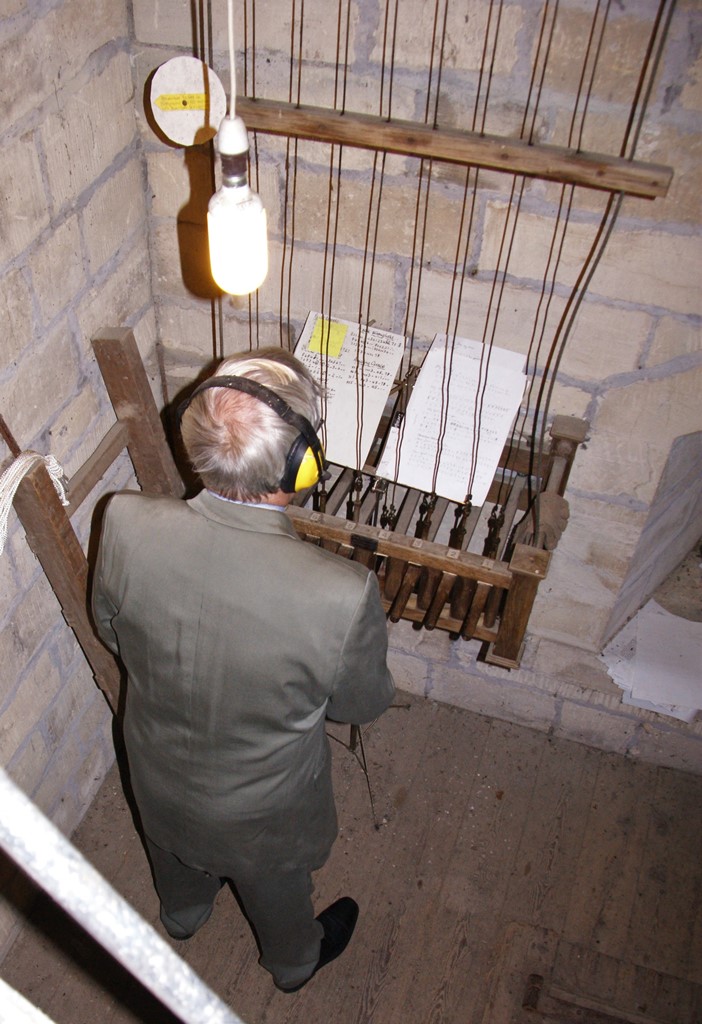
Bell Ringing
A more detailed history of the church is available as a pamphlet in the church itself for those that would like more information.
2. THE CHURCHYARD contains the grave of Harry Patch, a resident of Combe Down who was wounded in World War#1 but recovered and lived to the age of 111 to be the ‘Last Surviving Tommy’ who had fought in the trenches.
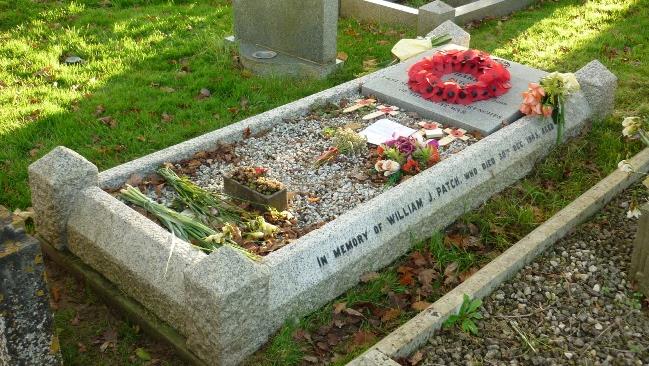
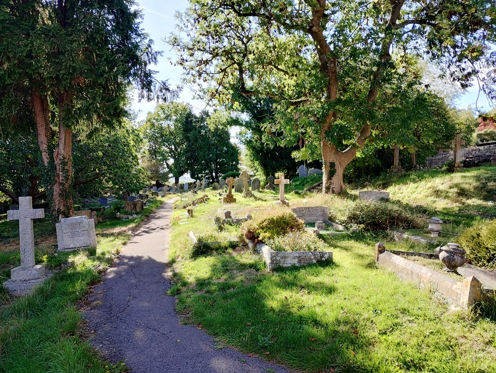
3. THE DRUNGWAYS – stone walled paths from the village up and over the surrounding hills – originally used as footways by the Monks of Bath Abbey to connect to their lands in Monkton Combe and then on to Hinton Priory..
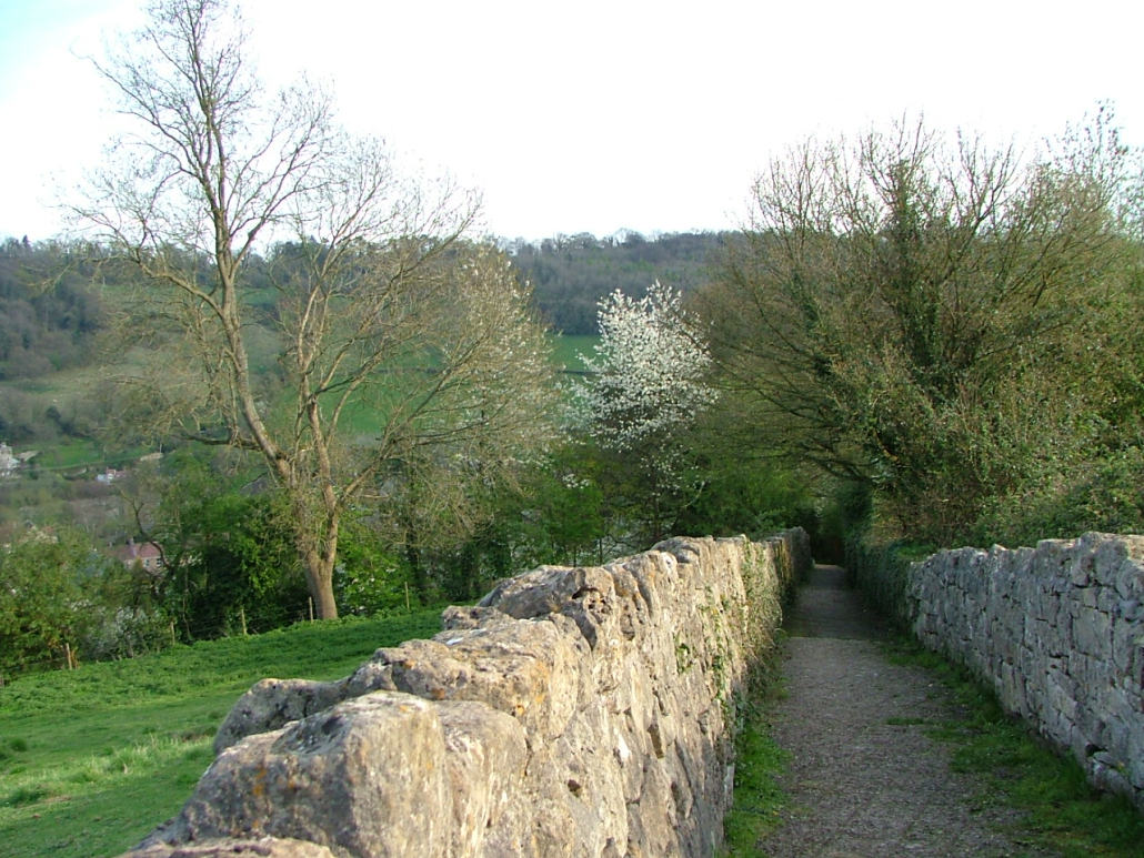
Church (Perryhill) Drung
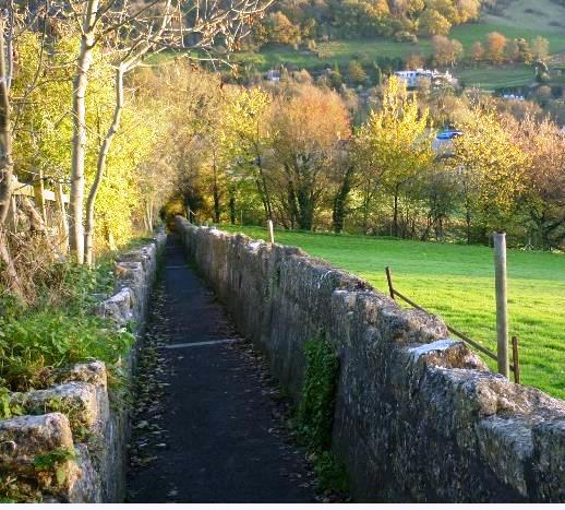
Innox Drung
4. MONKTON COMBE SCHOOL was founded by the Rev. Francis Pocock in 1868 to educate and prepare young people for Christian missionary work. In the years following its foundation, many former pupils travelled across the world as missionaries. The Chapel remains at the heart of the award winning co-educational school, which now has over 600 day and boarding pupils over three sites in the locality. The school in the village caters for senior pupils between 13 and 18 and numerous boarding houses are scattered across the parish.
More details can be found at https://www.monktoncombeschool.com/
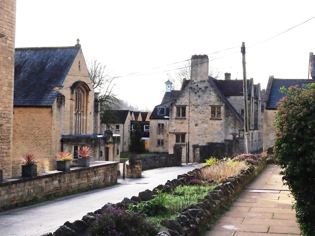
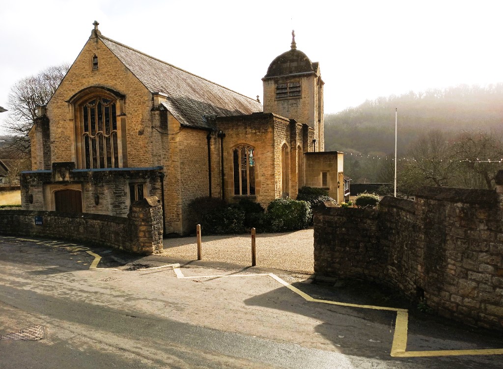
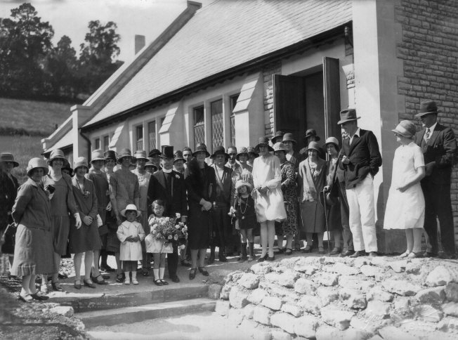
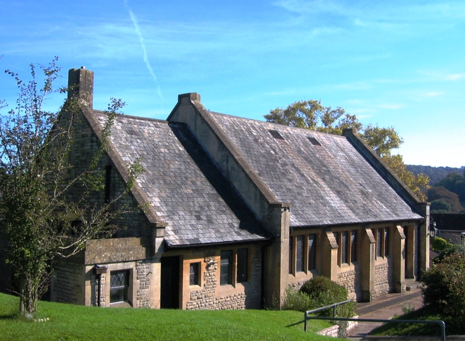
5. MONKTON COMBE VILLAGE HALL was built on land donated by the owners of Combe Grove in 1928 to be used for lectures and classes, and other forms of recreation and leisure for the benefit of the inhabitants of the village and is still for these purposes today.
The picture below shows the opening ceremony with the Rev. Percy Warrington who raised considerable amounts to actually build the hall – in the centre with the top hat!
Over the years many changes have been made, the original billiard room is now a well equipped kitchen area with store rooms and a new toilet block built on at the rear. The stage, which was well used in earlier days for community functions including an annual pantomime is still in place but has been updated by an installation of an audio visual system . Overall the hall is still in good condition as it approaches its 100th birthday, showing the care and craftsmanship of the original builders.
Handily situated next to the Village Hall is the village car park – sadly too small for the number of vehicles that would like to use it these days. Below the car park is a small children’s playpark with swings, a bouncy seat and spinner and a venerable Wicksteed see-saw.
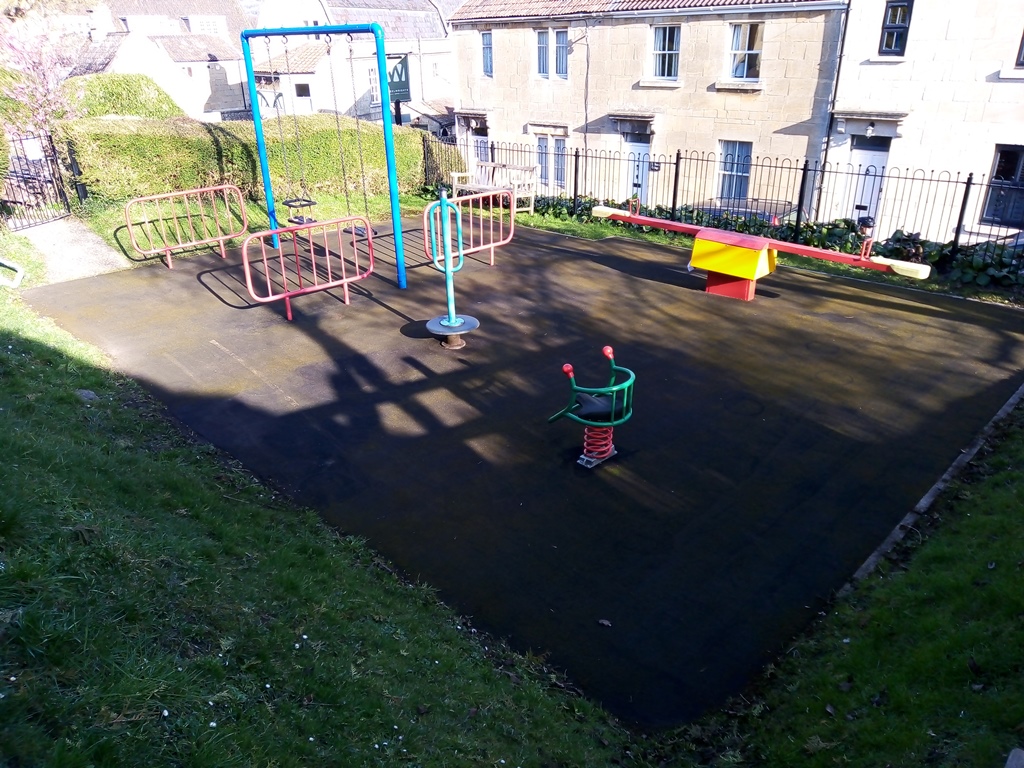
The Playpark
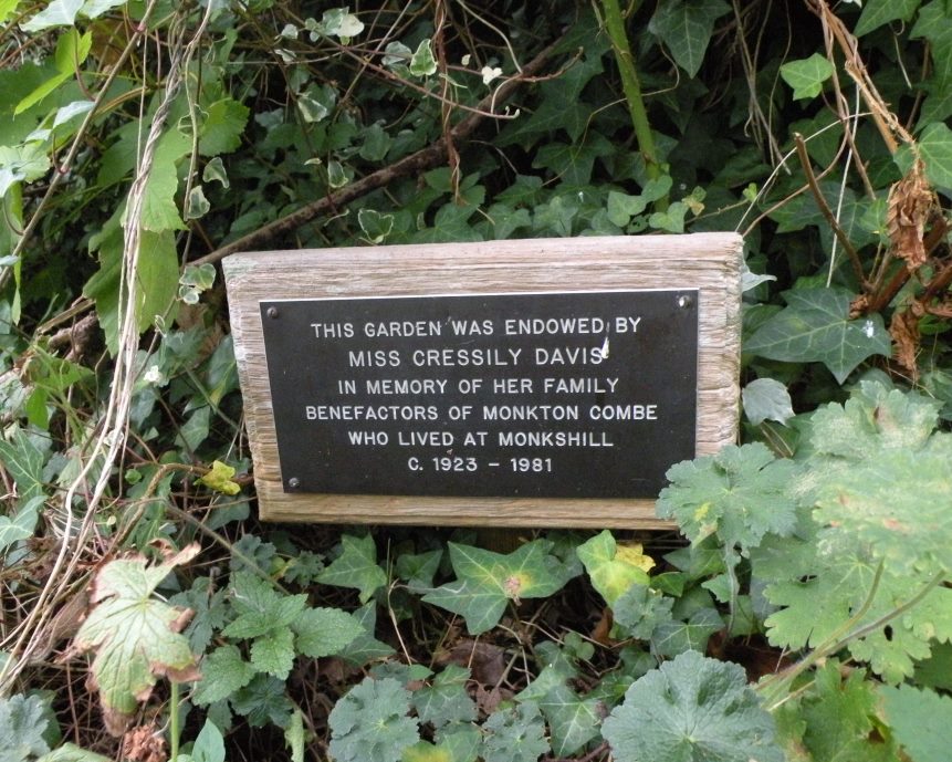
Next to that is a garden area on land donated to the village by a Miss Cressily Davis, a long time resident of Monkshill on Shaft Road. Born in 1905, her reminisces of village life through the twentieth century were published in the ‘Portrait of a Parish’, a collection of village memorabilia created to mark the millennium in 2000. Cressily herself moved to the care home in Waterhouse, across the valley, in her later years and died in 1996.
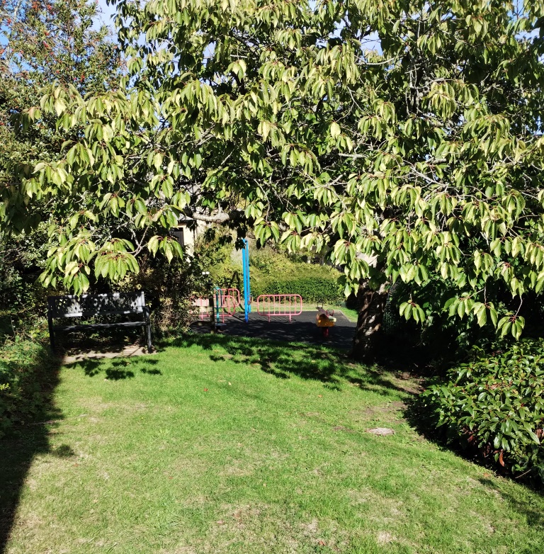
The Playpark
6. THE WHEELWRIGHTS ARMS became an established pub in 1869 after the newly founded School demolished an existing public house along Church Lane to build what is now the kitchens and dining hall. The ‘Wheelies’ as it is known affectionately by the locals , incorporated buildings previously used as Carpenters and Blacksmiths workshops, hence the name. As well as serving as the current village’s only public house, the outbuildings now provide accommodation for travellers and tourists.
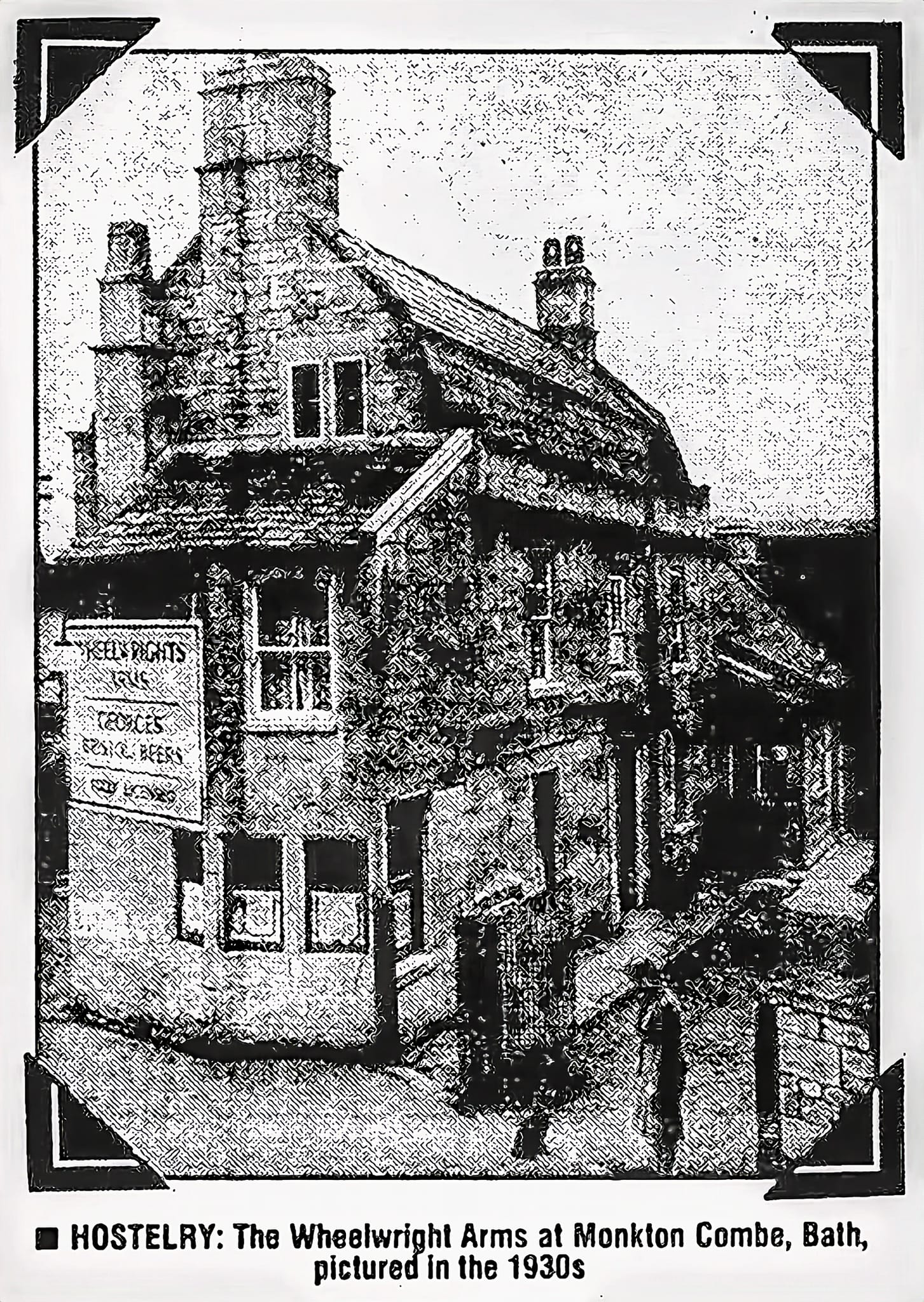
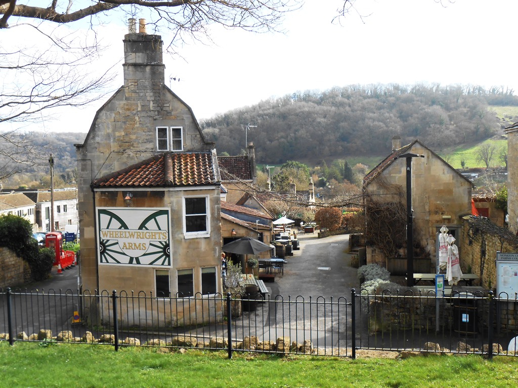
The Wheelwrights Arms today
7. THE OLD LOCKUP – late 18th century, two cell holding facility for miscreants arrested by the local constable. Similar to others in Bradford on Avon and Lacock. At one time classified as an ‘Ancient Monument’ by English Heritage it was recently downgraded but remains a Grade II Listed Building viz. Lock-up. Mid – late C18, probably c.1776. Ashlar. Square on plan with a plinth at the rear. Domical stone roof. Narrow square headed door opening; plank door with barred peep hole. No windows.
The door is much later than the rest of the building – according to Parish Council records it was actually fabricated in 1968 – ‘The door was constructed from 2″ English Oak and the frame ex 4″ x 3″ English Oak and an illustration is attached hereto. A metal grille was inserted as required and, as a feature, false antique mild steel wrought hinges were affixed. Additional features are the raised beads, also in oak, and antique studs.’
Maintenance of the building is an ongoing task. Replacing joints with lime mortar and bits of stonework that have flaked off in the frost are the usual jobs. The last refurbishment was in 2022 when a drainage channel was installed at the base of the building to route rainwater away from the plinth and down the lane.
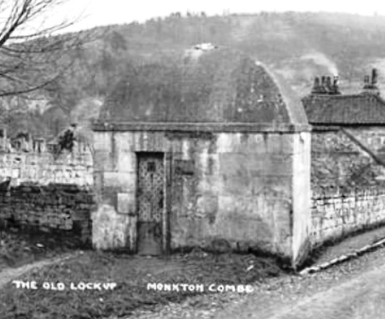
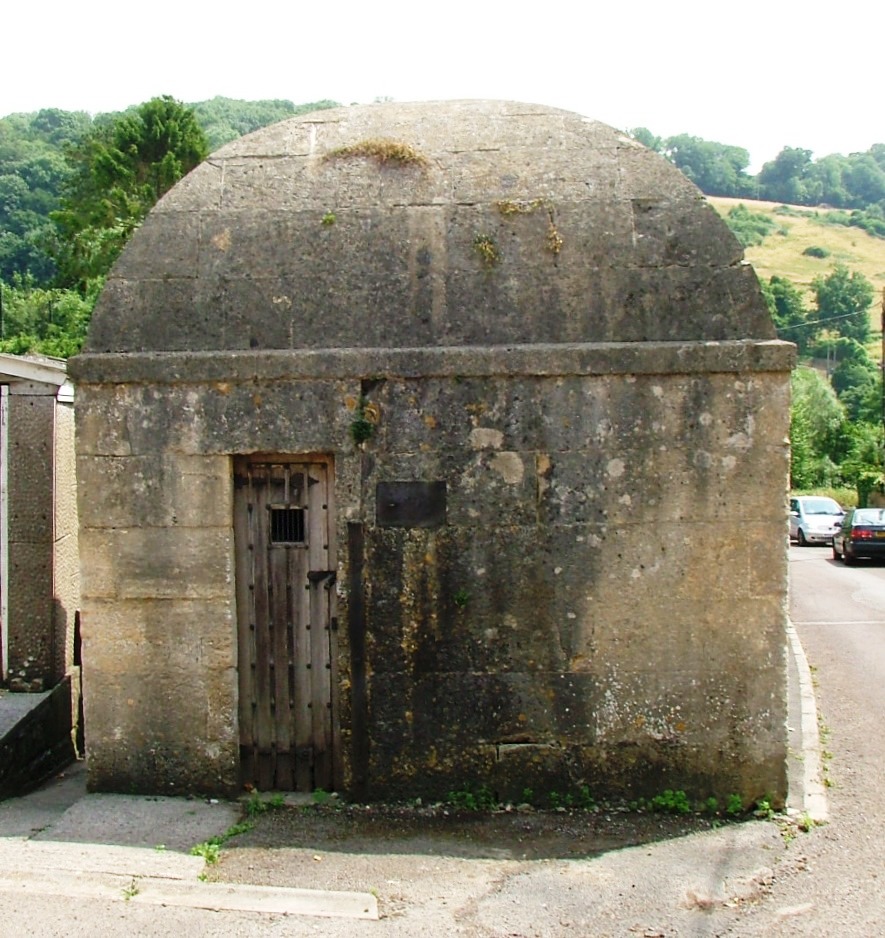
The Lock Up today
8. THE OLD STATION – the railway was created in 1910 as a branch from the Great Western at Limpley Stoke and largely used the bed of the previous Somerset Coal Canal which ran from the Kennet and Avon canal at Dundas Aqueduct, linking to the coal fields in Paulton Timsbury and Radstock .
The Coal Canal was built between 1795-1805 and designed by John Rennie. Initial work on the route of the canal was done by William Smith , the father of geology who lived at Tucking Mill, further up the valley.
From Wikipedia: The Somerset Coal Canal (originally known as the Somersetshire Coal Canal) was a narrow canal in England, built around 1800. Its route began in basins at Paulton and Timsbury, ran to nearby Camerton over two aqueducts at Dunkerton, through a tunnel at Combe Hay, then via Midford and Monkton|Combe to Limpley Stoke where it joined the Kennet and Avon Canal. This link gave the Somerset coalfield (which at its peak contained 80 collieries) access east toward London. The longest arm was 10.6 miles (17.1 km) long with 23 locks. From Midford an arm also ran via Writhlington to Radstock, with a tunnel at Wellow..
Mill Lane used to cross the canal by a graceful stone arched bridge by the lock keeper’s cottage. The bridge was removed by the railway but the cottage is still extant although modernised.
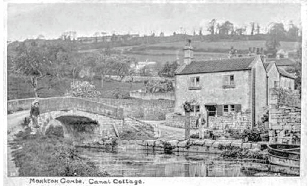
Both the canal and railway were built to transport coal from the mines around Camerton and Paulton to markets in the cities.
The station opened in 1910 but saw little passenger traffic , exceptions being at start and end of term at Monkton Combe School when the trunks and cases of the pupils arrived or departed with their owners. Passenger traffic was withdrawn from 1935 but freight traffic, mainly coal, continued until the while line closed in 1952. The station was left abandoned but was reinstated to star as ‘Titfield’ in the Ealing comedy ‘The Titfield Thunderbolt’ about local residents taking over a railway to stop it being closed. It was a short lived burst of glory, the track bed was lifted and the station dismantled and eventually the land was sold to the school who built an all weather pitch over the top of the whole site. The only traces now are the two gateposts marking the station entrance.
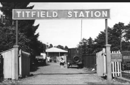
Temporary station signage while the film was being shot.
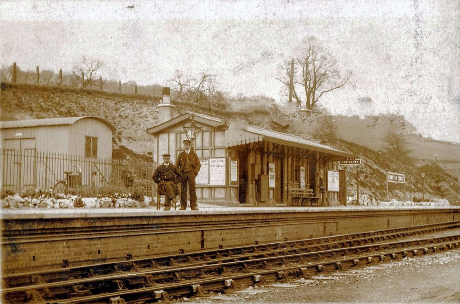
The station in its heyday
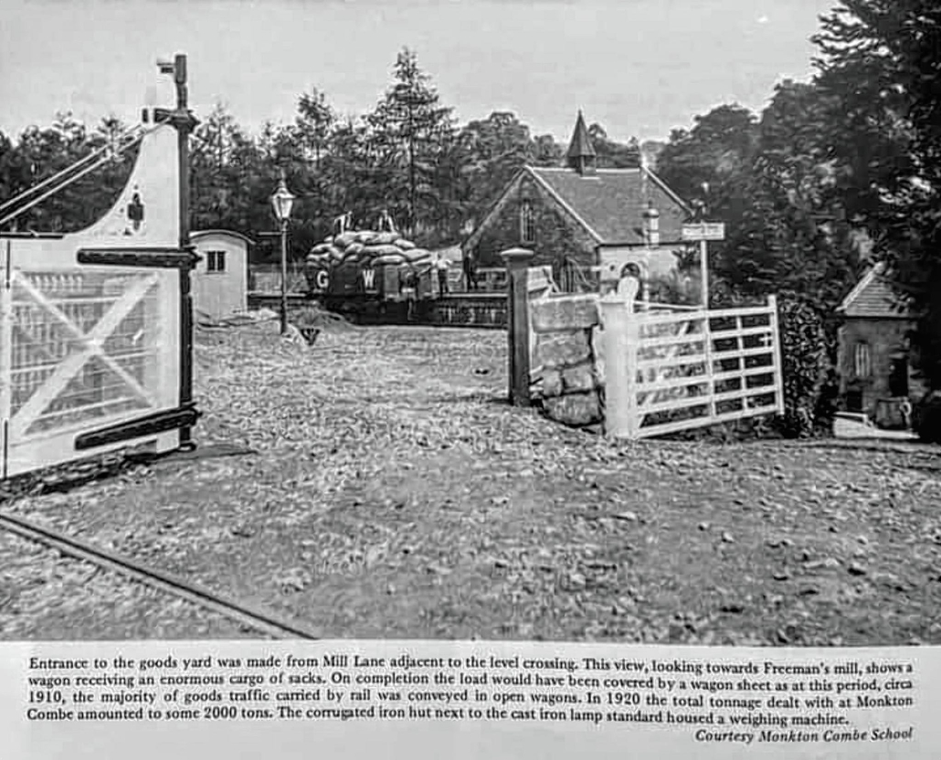
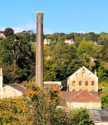
9. THE OLD MILL – marked by the chimney at the bottom of the valley, it served as a flock mill processing rags into flock, used to fill upholstery and mattresses. Water from the mill leat drove a turbine operating heavy beaters that broke the old cloth into fibres. These were then sterilised in ovens heated by a steam engine which exhausted through the chimney The railway was instrumental in transporting both raw materials and finished product through the adjacent goods yard from which a ramp ran into the back of Mill House (centre) which served as offices for the mill (now a private house).
The mill (known as Freeman’s Mill after the owners, who lived locally and were benefactors of the village) ceased trading in 1951 as flock was replaced by man made products and the railway closed shortly afterwards. The mill buildings are now owned by the school and used as maintenance workshops and offices.
10. MIDFORD BROOK forming the boundary between Somerset and Wiltshire it runs along the valley and drains into the Avon near Dundas Aqueduct.
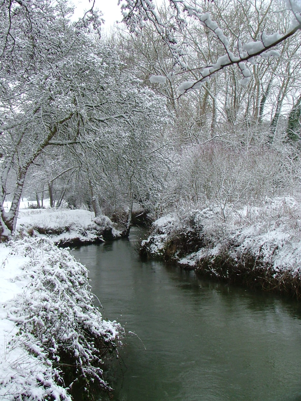
Milford Brook in Winter
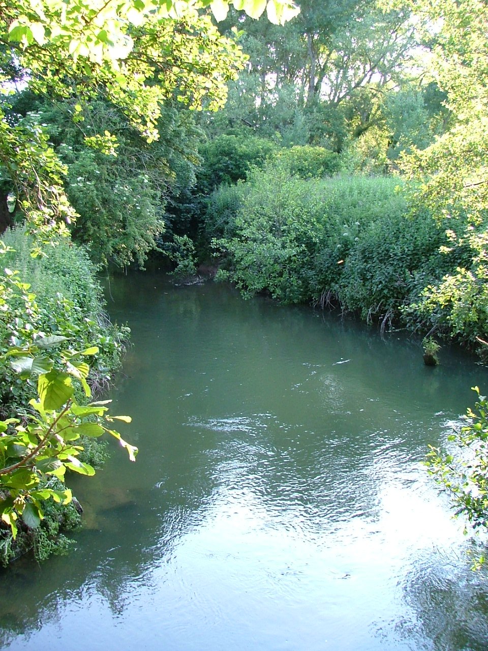
…. and in Summer
A cut was made from the brook to direct water into the mill complex to drive machinery. The leat, as it’s known, is still visible although largely dry since the weir that raised the water level to feed it was breached and never rebuilt. The sluice gates that maintained the level of the mill pool just before the mill can be seen from the footpath that crosses it over the ‘Millenium Bridge’, commissioned by the Parish Council at the turn of the century.
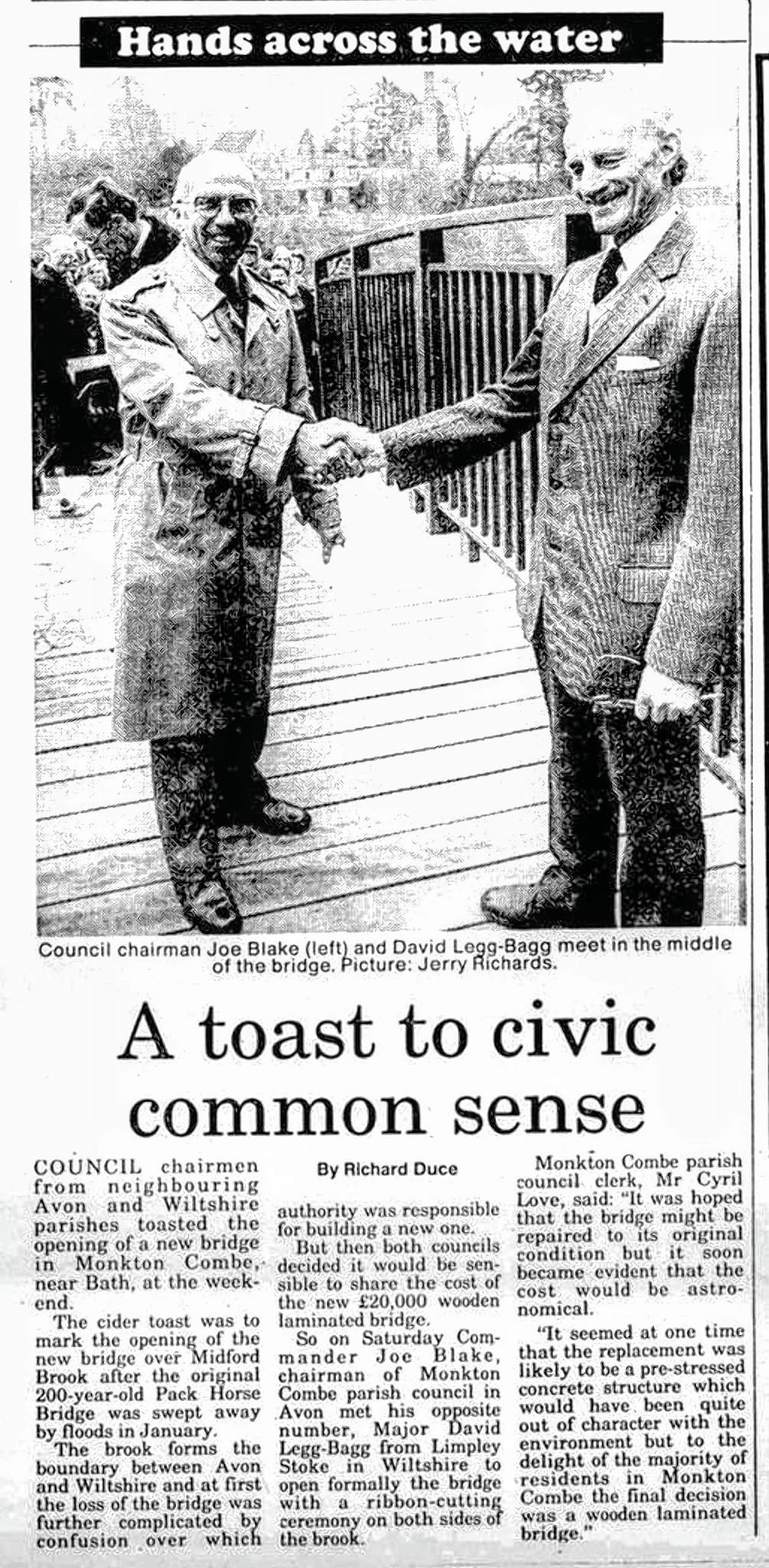
Further along the footpath, across ‘The Island’, the piece of land between the leat and the brook itself, is a bridge over the brook – known locally as ‘second bridge’, the Millenium being the ‘first’ . This wooden bridge was put in place to replace an old stone bridge that succumbed to severe floods. At times the whole island can be covered by flood water.
11. FLORA & FAUNA includes Spiked Star of Bethlehem (Bath Asparagus), Pyramidal and Common Spotted Orchids, White Helleborine and Bee Orchids
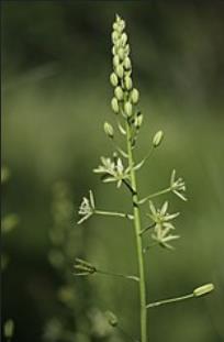
Asparagus
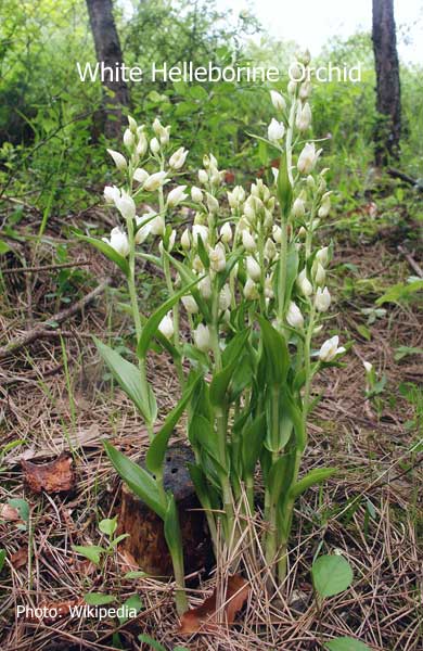
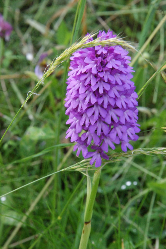
Pyramidal Orchid
Kingfishers and Otters prey on fish in the brook and Swifts and House Martins soar above and make a home in the nesting boxes provided high up on the School.
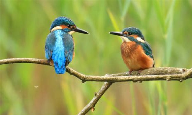
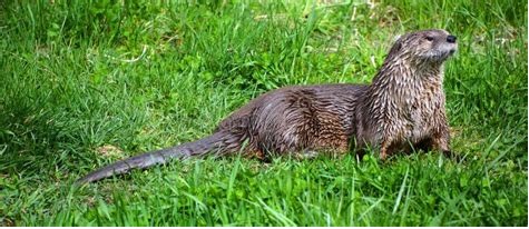
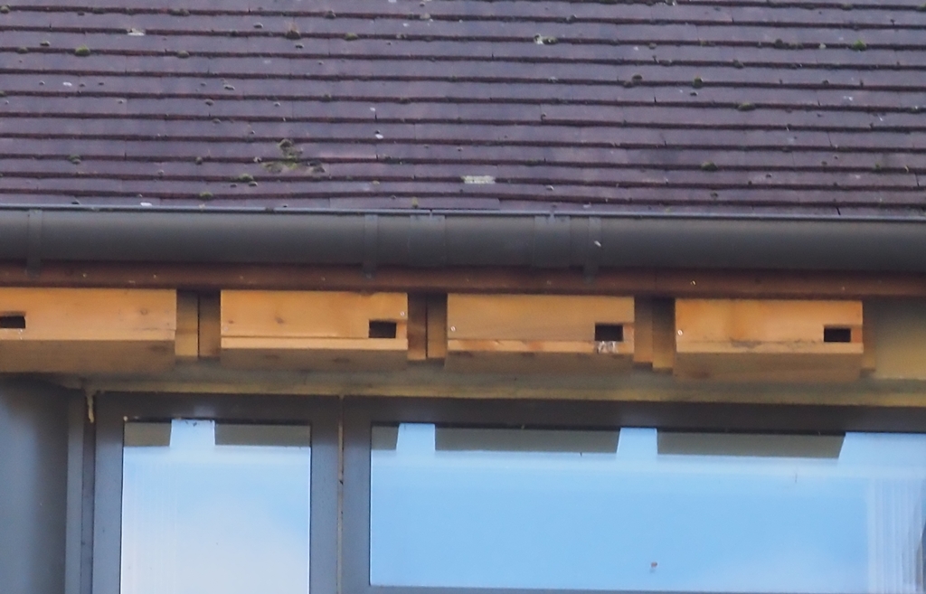
House Martin Nests
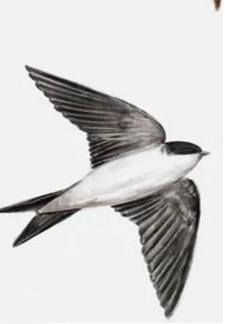
House Martin
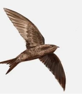
Swift
Swift Boxes
Apart from these, the local fauna is typical for the area and includes Barn and Tawny owls, foxes, badgers and rabbits, and roe and muntjac deer which can cause havoc to your precious flowers and vegetables if they get into the garden .
Bats are quite common, both Horseshoe and Pipistrelle some of which have roosting sites in the old stone mines underneath part of Combe Down at the top of the hill.
Less obvious until nightime is a colony of gloworms which infest the banks of Church Lane towards Brassknocker Hill and allegedly beavers are starting to appear in the brook.